Tuesday, October 22, 2013

Another day, another drive

After my class finished a little after noon today, I decided to go check out another section of the WIllamette Valley that I haven't fully explored yet. So after driving through the town of Stayton, I headed north to check out a small lake on the north side of town. One of my co-workers said that it was one of his "secret" fishing spots. As there is no parking lot - you have to park on the side of a slightly busy road, and homes and other buildings surround it, I would say that it is not worth stopping at unless you live a block or two away. The next site I was interested in was the Gallon House Covered Bridge on Gallon house Road, which was south of Mount Angel. It was quite nice as far a covered bridges go...

 The southern entrance.

The northern entrance.

After that, I went out to Scotts Mills to check out the namesake county park which used to be the location of a flour mill. You can still see remnants of the site as a what appears to be a side channel for the mill diverts some of the water through a switchback channel. The low-lying dam had been destroyed in the middle and now allows water to flow over McKay Falls - a scenic waterfall that flows over basalt columns that formed about 15 million years ago.

The backwater pond where the mill once stood.

 The broken dam.

 McKay Falls and dam.

The side channel.

 Mckay Falls with dam above.

McKay Falls.

Finally, after driving through the small towns of Marquam and Monitor, I headed home through Mount Angel. Along the way, I saw a well-built Lutheran Church...


Friday, October 18, 2013

All quiet on the Yamhill.

Yesterday I decided to go to Fort Yamhill State Heritage Area since I had never been there before. I had done a little research on this park about a year ago to find when the best time to visit the park would be and figured that October to March would be good as it is not known for flowers of birds. It just so happens that mid to late October seems to be the best time to visit this place. Not only will you avoid summer travelers, but you also get to see brilliant displays of color from the fall foliage. If you are like me, the Fall color helps to bring out the history, especially on the ancient trail used by the local tribes and settlers alike. The view of the Grand Ronde Valley and Spirit Mountian - the real one, not the casino - also adds to the experience. Below are some of the pictures from yesterday:

A relocated Officer's Quarters offers a glimpse of how small single-person houses once were.

 Spirit Mountain can be seen from several areas of the park. The smoke is from a slash-and-burn after part of the forest was logged. It supposedly helps put nutrients into the ground before the replanting of the forest.

 The ancient Killimuck Trail that the natives used - doesn't it remind you of Colonial New England? I can even imagine a horse-drawn carriage being pulled through here.

A nearby Ceremonial Longhouse sits watching over a field used for Pow Wows.

Overall it was a real peaceful setting; as a soldier once wrote - "All quiet on the Yamhill."

Wednesday, October 16, 2013

Time for some traveling

After school yesterday, I decided to tour part of the route I am creating for my book I am working on as it was sunny (even though it was supposed to rain). So with my map and camera with me, I drove some of the back roads of Marion County to find out which roads offer the best views and oldest family-owned farms - the ones that are called Century Farms. I also look for roads that travel past places such as county and state parks, small towns where they can refuel and eat at a local cafe, and even drive over covered bridges.

So anyway, here are a few my favorite pictures from yesterday:

 One of my favorite newly-made barns I have seen in the valley.

 A nice older barn that needs some painting...or not.

 A nice sign for a quaint cemetery east of Salem.

 A well-hidden semi-public reservoir that only the Silverton residents know about. I was lucky enough to talk to one  of those locals and get this picture of the lone house on the lake.

 A farm overlooking the colorful Silver Creek Canyon.

 Mount Hood rising above the hillside near Silverton.

 An oddity of the 1940's - the sign to the left of the door says 1946 Springbrook. It would be interesting to see what is inside.

Mount Hood rising above the Fall foliage.

Monday, October 14, 2013

A nice day for a drive.

As today is the first of several days during this week in which it is sunny on a day I don't work, I decided to go for a Sunny-day Drive. In eastern Oregon, I suppose a Sunday Drive can be done just about every week of the year, but here in the western 1/3 of Oregon, we have to time our outings with the weather. At any rate, I have been trying to find the best backroad trips of the Willamette Valley, and so far am working on a section of the first trip. This trip winds its way through Aumsville, Stayton, Sublimity, and goes north towards Silverton using the country roads with the best scenery, mountain views, and Century Farms. My plan is to create a book that showcases these backroad trips along with places to stop along the way, such as small town Cafes, County Parks, Covered Bridges, and so on.

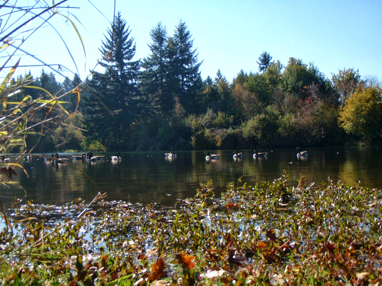
So, around noon today, I set out for the first run of the trip, going through Aumsville and stopping at Aumsville Ponds County Park. If this place is nice in Spring, then Fall makes it great:

 The Canadian Geese all lined up for me.

I wonder if the resident geese are still there?

Setting off from there, I went to Stayton to get something to eat at the Covered Bridge Cafe. You can read my article about it in November on the Mid-Willamette Explorer blog. FYI, the Stayton Burger is the Best...Burger...Ever. After that, I checked out the Stayton-Jordan Bridge, which may also get featured on the M-WE in  November. until then, here are a few pictures:


I had to stoop on a branch in the muddy bank for this shot.

After all that fun, I headed back home on some of the scenic backroads - note the gravel road in some of the pictures. What can be a finer backroad than one that is unpaved?

 Looking back at a farmer and his field.

A wind mill rises above the trees east of Salem.